10:45 AM | ***Severe weather threat later today/early tonight in the Mid-Atlantic to include hail, heavy rain and even isolated tornadoes…very comfortable conditions to follow***
Paul Dorian

Overview
The overall weather pattern is evolving to one that will bring very comfortable air to the Mid-Atlantic region as we end the month of July and begin the month of August, but it is going to be rough going to get to that point as there is the threat for severe weather later today into early tonight. A complex of severe thunderstorms blasted through Wisconsin in the overnight hours in a northwest-to-southeast direction and this line has held together and will push into the Mid-Atlantic region later in the day. There is the potential this afternoon and evening for severe weather in the Mid-Atlantic region to include all the weather parameters from hail-to-heavy rain-to-isolated tornadoes. Following the passage of a strong cold front, comfortable air with low humidity will push in on Friday riding in on stiff NW winds and the comfortable weather pattern will last through much of next week as well – the first full week of August.

High-resolution forecast map of radar reflectivities as of 7PM feature nasty-looking storms across SE PA and the Delmarva Peninsula. Map courtesy NOAA, tropicaltidbits.com
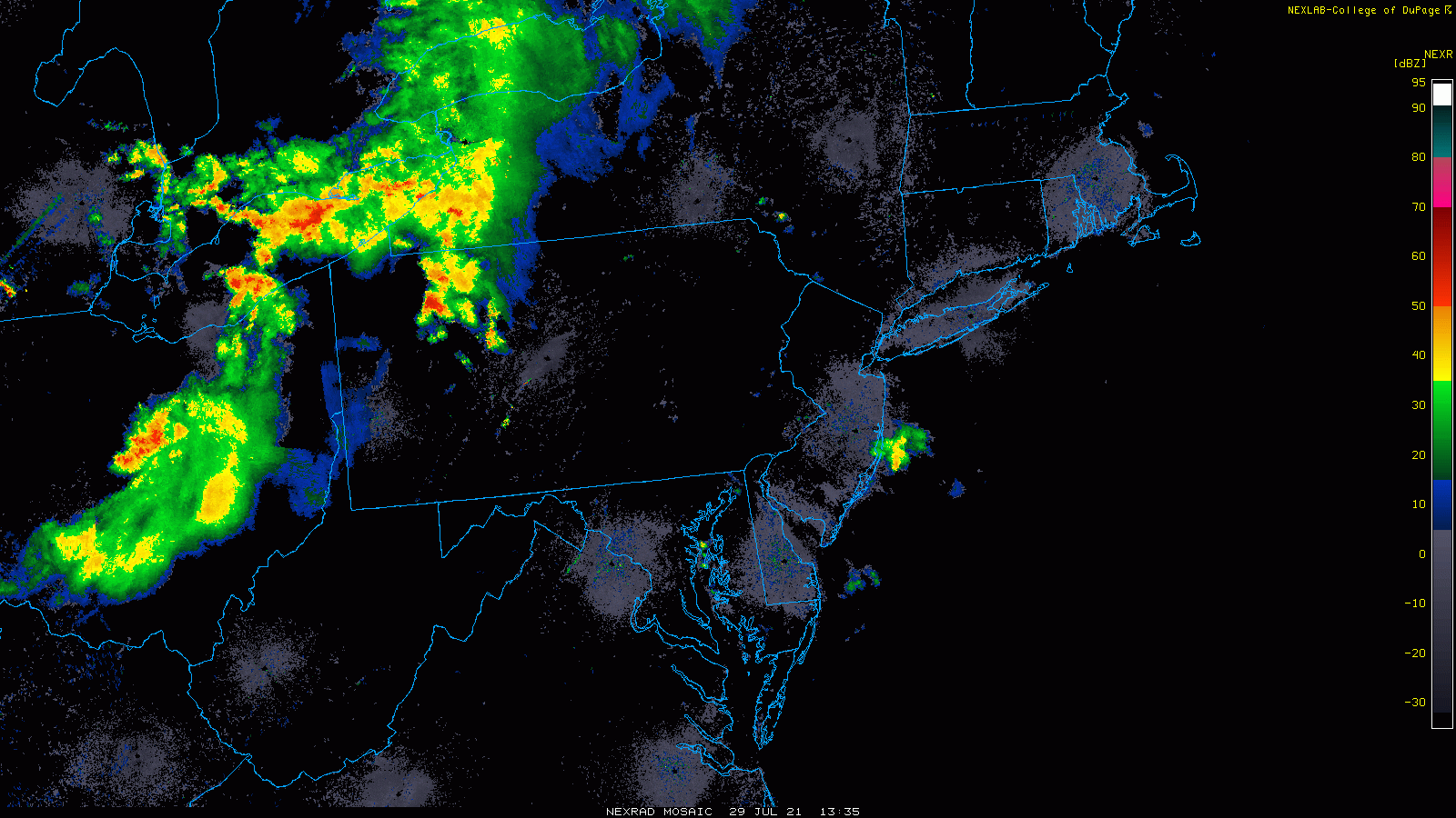
Severe weather threat later today/early tonight
A line of severe thunderstorms blasted through the Upper Midwest in the overnight hours and it has held together and is now charging towards the Mid-Atlantic region. This long-lasting line of severe storms – commonly referred to as a derecho - is currently crossing into southwestern New York State and northwestern Pennsylvania and extends to eastern Ohio. In addition to the remains of this complex of thunderstorms, other important ingredients that will play a role in the severe weather threat include an approaching mid-level jet streak, vorticity max, and strong directional wind shear. If these ingredients come together at just the right time, all severe weather parameters will be on the table later today/early tonight including hail, torrential rain and even isolated tornadoes. The one factor that could reduce the severe weather threat for later today is cloud cover. Should the late morning/mid-day cloud cover hold firm, it could reduce daytime heating and limit the destabilization of the atmosphere…stay tuned on that bit of hope.

Winds will be quite high later today in the low and middle levels of the atmosphere adding to the severe weather threat in the Mid-Atlantic region. This 7PM forecast map suggests the highest winds at this time will be across south-central and southeastern PA and extend to northern MD. Map courtesy NOAA, tropicaltidbits.com
Very comfortable temperatures to follow
How do the 50’s sound for early morning temperatures on Saturday – the last day of the month of July? Temperatures for the month of July have been pretty close-to-normal in the Mid-Atlantic and the month will end with below-normal temperatures on Friday and Saturday and the comfortable pattern will continue through much of next week…the first full week of August. In fact, the first full week of August could feature below-normal temperatures in a large portion of the eastern US thanks to an intensifying and large upper-level low.

A comfortable weather pattern will set up for the first week of August across much of the eastern half of the nation. Map courtesy NOAA, tropicaltidbits.com
In addition to the potential for cooler-than-normal weather, the eastern US may have to deal with plenty of moisture sometime next week. There are signs that it’ll lots of moisture may exist from the Gulf coastal region to the eastern seaboard and it could consolidate and impact the Mid-Atlantic region if low pressure forms near the east coast. In other words, there is the chance for some relatively cool and damp weather in the eastern states next week – pretty unusual for the first week of August.
Meteorologist Paul Dorian
Peraton
peratonweather.com
Follow us on Facebook, Twitter, YouTube
Video discussion: